- Cartes de France
- Cartes de Normandie
- Cartes de l' Orne
- Saint-Léger-sur-Sarthe

Commune de Saint-Léger-sur-Sarthe
Saint-Léger-sur-Sarthe est une commune du département de l' Orne, dans la région de Normandie.
Saint-Léger-sur-Sarthe fait partie du canton de Radon 
Saint-Léger-sur-Sarthe adhère à la la communauté de communes de la Vallée de la Haute Sarthe
Saint-Léger-sur-Sarthe fait partie du bassin de vie de Mortagne-au-Perche
 164 m.
 La population de Saint-Léger-sur-Sarthe est de 308 habitants (2023)
Le code postal de Saint-Léger-sur-Sarthe est : 61170
Le code INSEE de Saint-Léger-sur-Sarthe est : 61415
Saint-Léger-sur-Sarthe en chiffres
0 Il n'y a aucun établissement scolaire à Saint-Léger-sur-Sarthe.
8.7 La part des résidences secondaires est de 8.7 %.
 Tous les chiffres et statistiques sur Saint-Léger-sur-Sarthe sur le site Insee.fr
 Cartographie
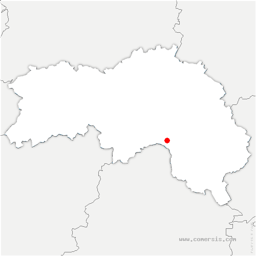


Villes aux alentours de Saint-Léger-sur-Sarthe
Mêle-sur-Sarthe : à 1.43 km
Saint-Julien-sur-Sarthe : à 2.00 km
Barville : à 2.25 km
Marchemaisons : à 3.26 km
Saint-Aubin-d'Appenai : à 3.46 km
Ventes-de-Bourse : à 4.58 km
Buré : à 5.08 km
Blèves : à 5.16 km
Coulonges-sur-Sarthe : à 5.47 km
Aunay-les-Bois : à 5.61 km
Vidai : à 6.05 km
Laleu : à 6.21 km
Saint-Quentin-de-Blavou : à 6.97 km
Mesnière : à 7.27 km
Montchevrel : à 7.50 km
Aulneaux : à 7.63 km
Essay : à 7.86 km
Neuilly-le-Bisson : à 7.86 km
Bures : à 7.98 km
Boitron : à 8.11 km
Ménil-Broût : à 8.30 km
Boëcé : à 8.60 km
Louzes : à 8.84 km
Sainte-Scolasse-sur-Sarthe : à 8.95 km
Villeneuve-en-Perseigne : à 8.98 km
Ménil-Guyon : à 9.19 km
Pervenchères : à 9.72 km
Coulimer : à 9.91 km
Chalange : à 10.07 km
Bursard : à 10.33 km
Aillières-Beauvoir : à 10.55 km
Hauterive : à 10.67 km
Courgeoût : à 10.93 km
Champeaux-sur-Sarthe : à 11.05 km
Bazoches-sur-Hoëne : à 11.07 km
Ménil-Erreux : à 11.07 km
Plantis : à 11.09 km
Saint-Jouin-de-Blavou : à 11.44 km
Neauphe-sous-Essai : à 11.53 km
Contilly : à 11.67 km
Montgaudry : à 11.72 km
Trémont : à 11.77 km
Saint-Germain-le-Vieux : à 11.99 km
 Téléchargez cette carte
 Base de données