- Cartes de France
- Cartes de Normandie
- Cartes de l' Orne
- Champeaux-sur-Sarthe

Commune de Champeaux-sur-Sarthe
Champeaux-sur-Sarthe est une commune du département de l' Orne, dans la région de Normandie.
Champeaux-sur-Sarthe fait partie du canton de Mortagne-au-Perche 
Champeaux-sur-Sarthe adhère à la la communauté de communes du Pays de Mortagne au Perche
Champeaux-sur-Sarthe fait partie du bassin de vie de Mortagne-au-Perche
 201 m.
 La population de Champeaux-sur-Sarthe est de 161 habitants (2023)
Le code postal de Champeaux-sur-Sarthe est : 61560
Le code INSEE de Champeaux-sur-Sarthe est : 61087
Champeaux-sur-Sarthe en chiffres
0 Il n'y a aucun établissement scolaire à Champeaux-sur-Sarthe.
22.3 La part des résidences secondaires est de 22.3 %.
 Tous les chiffres et statistiques sur Champeaux-sur-Sarthe sur le site Insee.fr
 Cartographie
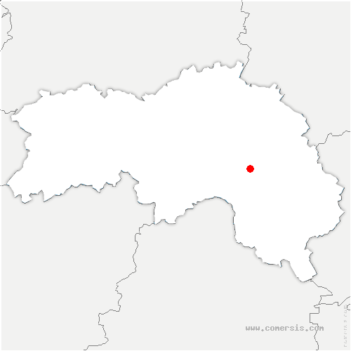


Villes aux alentours de Champeaux-sur-Sarthe
Saint-Germain-de-Martigny : à 2.27 km
Bures : à 3.36 km
Bazoches-sur-Hoëne : à 3.45 km
Saint-Aubin-de-Courteraie : à 3.52 km
Sainte-Scolasse-sur-Sarthe : à 3.55 km
Saint-Agnan-sur-Sarthe : à 3.67 km
Saint-Ouen-de-Sécherouvre : à 4.43 km
Plantis : à 4.91 km
Laleu : à 5.22 km
Coulonges-sur-Sarthe : à 5.82 km
Mesnière : à 5.86 km
Tellières-le-Plessis : à 6.41 km
Saint-Hilaire-le-Châtel : à 6.63 km
Sainte-Céronne-lès-Mortagne : à 6.80 km
Boëcé : à 6.93 km
Saint-Martin-des-Pézerits : à 7.18 km
Buré : à 7.18 km
Montchevrel : à 7.36 km
Soligny-la-Trappe : à 8.12 km
Courtomer : à 8.17 km
Courgeoût : à 8.43 km
Saint-Aquilin-de-Corbion : à 8.51 km
Moulins-la-Marche : à 8.54 km
Saint-Aubin-d'Appenai : à 8.79 km
Mahéru : à 8.89 km
Fay : à 9.14 km
Ferrières-la-Verrerie : à 9.39 km
Chalange : à 9.43 km
Mêle-sur-Sarthe : à 9.64 km
Saint-Germain-le-Vieux : à 9.80 km
Mortagne-au-Perche : à 9.90 km
Saint-Langis-lès-Mortagne : à 10.11 km
Ferrière-au-Doyen : à 10.28 km
Ménil-Guyon : à 10.67 km
Bonsmoulins : à 10.74 km
Saint-Léger-sur-Sarthe : à 11.05 km
Saint-Julien-sur-Sarthe : à 11.40 km
Coulimer : à 11.49 km
Parfondeval : à 11.68 km
Gâprée : à 11.92 km
Brullemail : à 11.97 km
Marchemaisons : à 12.00 km
 Téléchargez cette carte
 Base de données